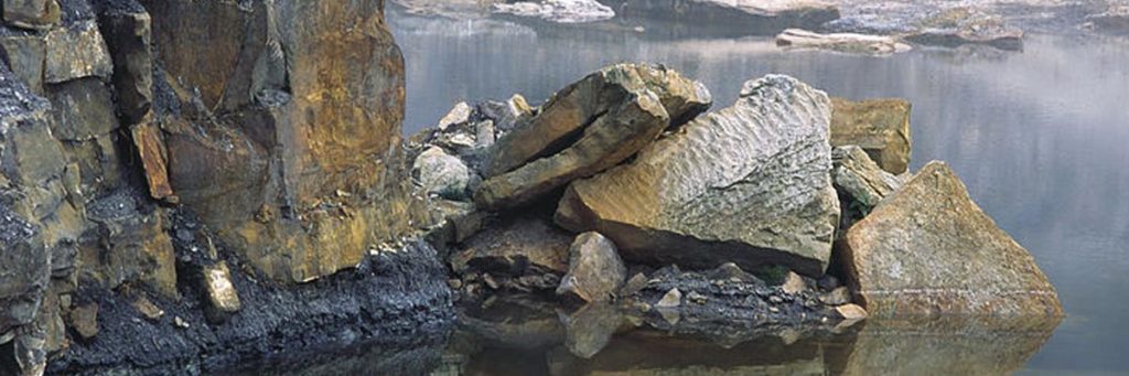
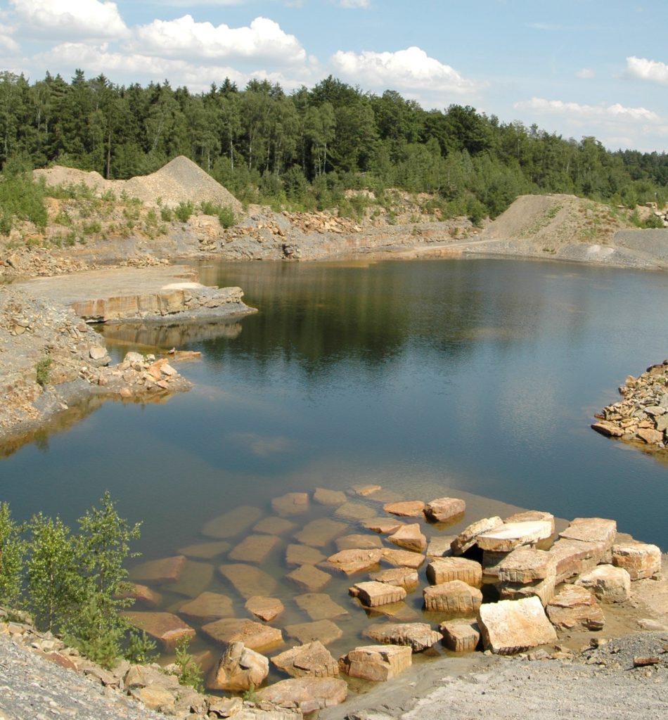
The Velpker Rhät sandstone has been quarried in numerous quarries since 1640. The stones were initially used to rebuild churches, monasteries and fortifications destroyed during the Thirty Years' War. Later and up to the present day, they were mainly used as building material for prestigious buildings (e.g. Kohlmarktbrunnen and the TU building in Braunschweig). With the exception of one site, the extraction of Rhät sandstone near Velpke came to a standstill after the Second World War for economic reasons. The last remaining quarry is also on the verge of closure. The lower-lying abandoned quarries have now "sunk", i.e. they have filled up with water over the decades because the groundwater level was no longer artificially lowered.
These abandoned quarries, located mainly to the west and north-west of Velpke and mostly under water, still offer informative insights into the depositional area of the Upper Keuper. In them, "second-hand" aquatic biotopes with very special communities of plants and animals have developed and continue to develop. This former quarry landscape is known as "Velpker Switzerland" because of its beauty and uniqueness with its idyllic alternation of land and water, hills and valleys, forest and reed beds.
It has been designated a landscape conservation area since 1969 with the aim of enabling people from near and far to enjoy peaceful recreation in the great outdoors.
The trail starts at the car park at Velpke sports ground and is around 2 km long. Non-slip footwear is required to enter the geological outcrop. Bicycles and pushchairs cannot be taken there.
Approach: From Wolfsburg travelling east on the B 188, after the Danndorf exit turn right onto the B 244 towards Velpke. The sports ground is on the right after entering the town.
1. crab hole 2. outcrop of the Räth sandstone 3. old quarry 4. glacier scrapes 5. small moor 6. crayfish hole - north-west shore 7. sulphurous water 8. wildlife on the water's edge